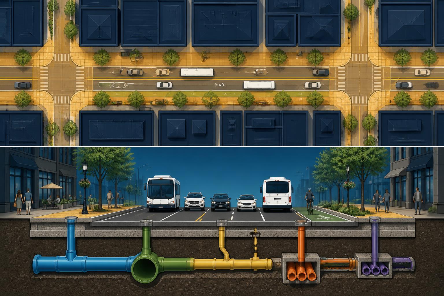
01Existing-conditions intelligence
How can the city establish a shared, measurable picture of the corridor before design begins?
Show how field capture, survey, imagery, mapping, or reality documentation can create a reliable baseline across departments. Focus on what must be captured, at what level of confidence, and how the baseline prevents downstream rework.
02Subsurface and asset coordination
How can the city identify underground conflicts and renewal opportunities early enough to coordinate the work?
Show how records, detection, asset data, and engineering judgment combine to expose uncertainty. Clarify what can be known, what must be verified, and how departments and utilities should resolve conflicts.
03Design, phasing, and public impact
How can the city turn the evidence into a buildable sequence that protects access, safety, budget, and long-term value?
Show how scenario planning, constructability, mobility, public-realm goals, and stakeholder constraints shape phasing. Focus on the decisions that should be locked early and those that should remain flexible.